Mapping No. 34

High Humanitarian Crisis Index Intensity in Sagaing Region
(As of November 26, 2023)
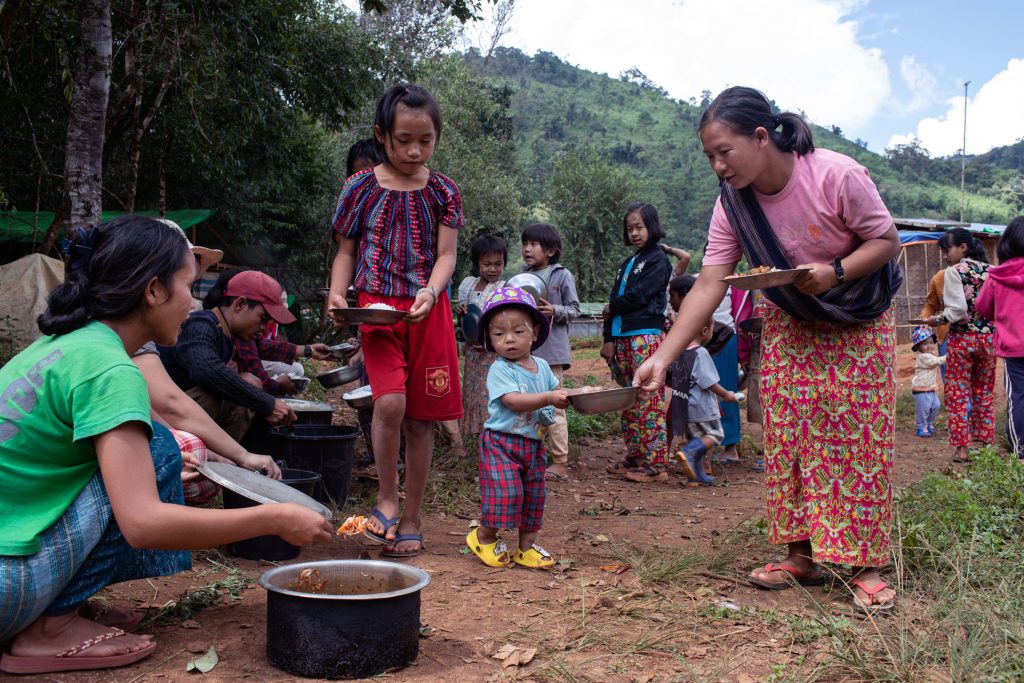
Since the 2021 coup, armed conflict, defined by at least one mutual shooting, has affected 221 townships, constituting 67 percent of the total. To assess the impacts of conflict in these areas, we employed the humanitarian crisis index, which is measured by the number of IDPs per township, alongside the security index and public service provision index. The humanitarian crisis index indicates a high intensity in 45 townships, with Sagaing Region experiencing the highest affecting 19 townships. Notably, Karenni (Kayah) State is found to have high intensity with six of its total seven townships experiencing the high humanitarian crisis intensity.

